
Hong Kong
Overview
The Hong Kong Forest Dynamics Plot is located in the Tai Po Kau Nature Reserve, a 460 ha protected area including Hong Kong’s most extensive forest. The plot is 20 ha and was established in the relatively young (50-60 year old) secondary forest. Due to the long history of human impact on Hong Kong’s forests, the Tai Po Kau forest has lost most of the important seed dispersing vertebrates. The lack of seed dispersing animals, especially for tree species with large seeds and fruits, will have a profound impact on seedling regeneration and the trajectory of forest succession. This study site will examine the dynamics of forest succession from degraded to mature secondary forest, using the methods of long-term permanent plots developed by ForestGEO. Findings from this plot will be compared with other forests in tropical East Asia where levels of deforestation and defaunation vary. Results will also be used to develop strategies for ecological restoration of forests with high native biodiversity.
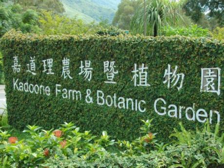
The 20 ha plot at Tai Po Kau is complemented by a 1 ha plot at the Kadoorie Institute Shek Kong Centre. In addition to research activities, this plot will be primarily used for training workshops and volunteer activities for many different stakeholder groups, such as corporate sponsors, local school children, and members of the general public. The training workshops are primarily focused on the scientific monitoring of forest dynamics, however, other relevant topics include biodiversity values and ecosystem functions of tropical forests, natural succession in degraded forest landscape, nursery production of native tree seedlings, and reforestation for carbon sequestration against climate change. The project received a 3 year (2011-2014) donation from the Hong Kong Bank Foundation for the establishment of the research and training plots.
Longitude: 114.181000000000


